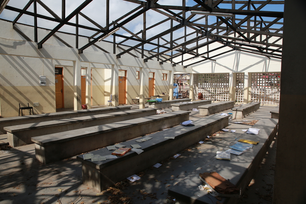
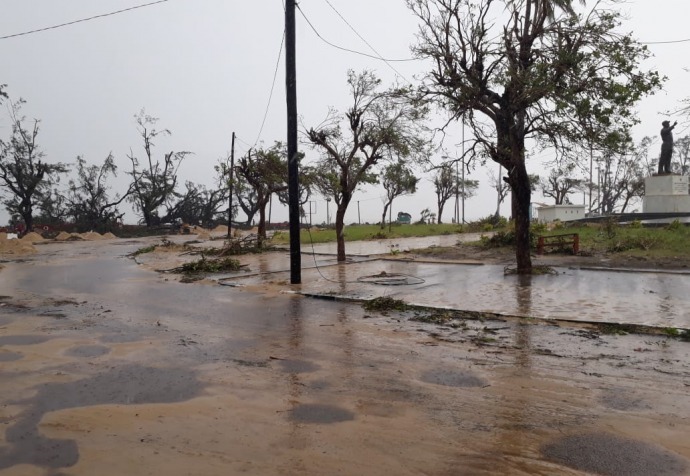
Cyclone Idai hit Mozambique and Zimbabwe in mid-March, flooding vast swathes of land, leaving hundreds of thousands of people homeless and destroying buildings, crops and infrastructure.
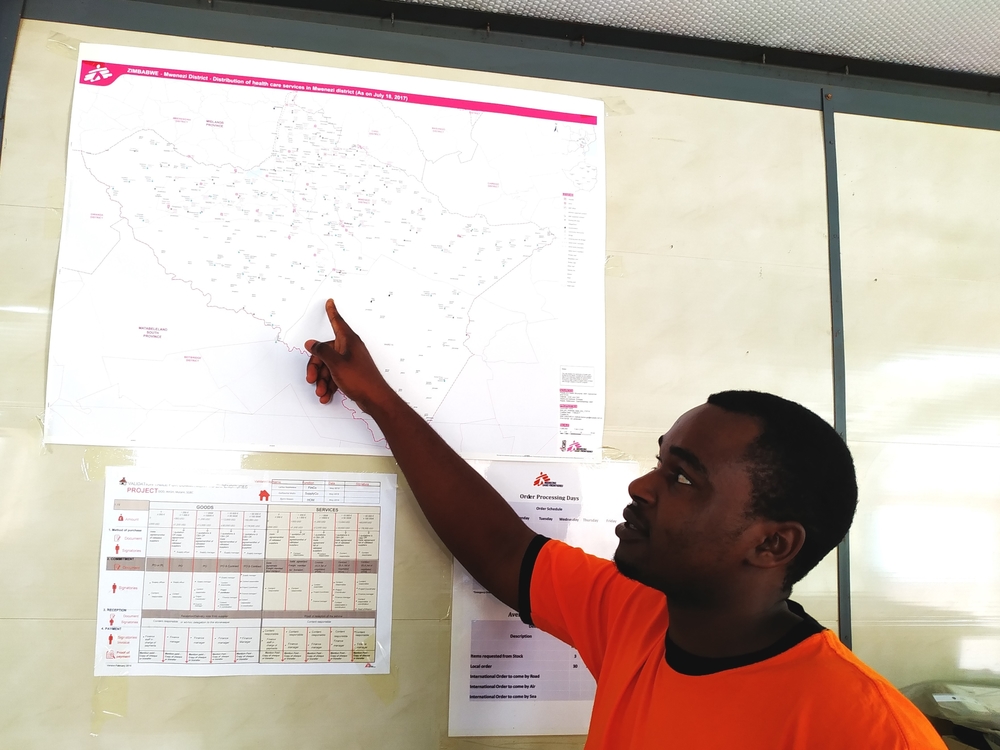
MSF teams responded to the natural disaster by sending emergency teams and medical supplies to southern Africa. Simultaneously it deployed four GIS experts – one of whom was already in Zimbabwe – to support the teams by providing detailed, multilayered maps of the region, in its largest GIS response since the 2014 West Africa Ebola epidemic.
GIS services can combine multiple layers of information on a single map, helping responders to understand the scale of the emergency, plan logistics, improve epidemiological surveillance and coordinate with other organisations.